More rain for B.C. in latest atmospheric river event after more than 100mm dumped
By Canadian Press on March 17, 2026.
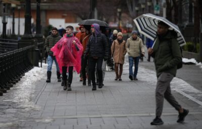
VANCOUVER — More heavy rain is in the forecast for British Columbia’s coastal regions as a series of atmospheric rivers rolls in after the first deluge dropped more than 100 millimetres.
Environment Canada has upgraded its rainfall warnings to orange for B.C.’s central coast and the west coast of Vancouver Island, with up to 200 millimetres of rain still possible by Wednesday.
A lower-level rainfall warning is also in place for Whistler, Howe Sound, the Fraser Valley and the North Shore of Metro Vancouver, as well as for inland portions of Vancouver Island.
The latest warnings come after the first series of storms dropped 111 millimetres of rain on Tofino and 106 millimetres on Bella Bella on the central coast.
The highest recorded rainfall was at the Estevan Point weather station off Vancouver Island’s west coast where 142 millimetres were recorded, while Terrace, in northwestern B.C., received 38 centimetres of snow and wind gusts on Sartine Island off Vancouver Island’s northern tip reached 144 kilometres an hour.
Warming conditions combined with heavy mixed precipitation have triggered warnings for high avalanche danger for parts of Vancouver Island, the Lower Mainland, the Sunshine Coast and much of northwestern B.C., as well as Interior regions along the Rockies.
“Avoid exposure to avalanche terrain as rain continues to soak the snowpack,” says Avalanche Canada’s warning for inland Vancouver Island.
Parts of B.C. including western and northern Vancouver Island and the central coast also remain under a flood watch as the province’s River Forecast Centre warns of runoff from melting snowpacks as well as heavy rain.
“Forecast models indicate the potential for multiple pulses of precipitation through the coming week, which may prolong elevated runoff conditions across the region,” the centre’s Vancouver Island flood watch advisory says.
This report by The Canadian Press was first published March 17, 2026.
The Canadian Press
14-13